

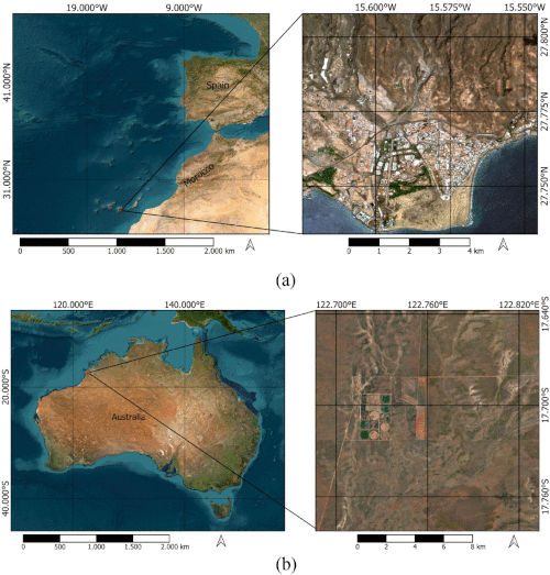
The ability to accurately interpret multispectral images is crucial in many research fields, such as geological mapping, vegetation monitoring, land use classification, and disaster response management. Currently, a large number of multispectral images are available, enabling the observation and management of phenomena and changes occurring on the Earth's surface. These images capture not only highly detailed visual information but also data on variations in spectral composition over time. However, interpreting these images is complex because, since they are captured by different sensors, data inconsistencies sometimes arise.
"Images obtained by sensors are characterized by their spatial, spectral, and temporal resolution. There is a trade-off between these three characteristics, so obtaining images with high spatio-spectral-temporal resolution requires integrating information from different sensors," explains Consuelo Gonzalo, a researcher at CTB-UPM and one of the authors of the study. “From a spectral point of view, the differences between sensors arise from variations in the number of spectral bands and their widths, crucial aspects to consider when integrating information from different sensors, to avoid spectral distortion in the fused images compared to the original images.”
Significant Improvement in the Quality of Fused Images.
To address these problems, researchers tackled the inconsistencies that arise when analyzing data from European sensors, primarily Sentinel-2 and Sentinel-3.
“We proposed a methodology to adjust the spectral bands of Sentinel-3 to those of Sentinel-2, thus generating new bands that integrate all the available information. The adjusted bands are spectrally similar to those that would be recorded if the source sensors had similar spectral characteristics,” explains Ángel García Pedrero, also from CTB-UPM and one of the authors of the study.
The results showed that the direct integration of images recorded by sensors with different spectral characteristics produced spectral distortions in the fused images. This distortion typically appears as blurriness or incorrect color representation in the resulting image. Band adjustment using the spectral response function minimizes these spectral differences between the sensors.
“We discovered that including all the spectral information provided by different narrow bands helps reduce the effect of differences between sensors on physical properties. The results showed a significant improvement in fusion results using adjusted bands in complex and heterogeneous landscapes. The adjusted spectral bands in the fusion process provided images closer to ground truth with an improvement in the identification of spatial structures, such as buildings or roads, which are identified much better, regardless of the heterogeneity of land cover,” adds Meryeme Boumahdi, from CTB-UPM.
For the researchers, the most important aspect of this study, published in the international journal Journal of Selected Topics in Applied Earth Observations and Remote Sensing, is that the proposed methodology has great potential for improving the spectral quality of fused images, which is crucial for identifying specific land cover types and phenomena.
"The technical limitations of sensor technologies create a fundamental trade-off between spatial, spectral, and temporal resolutions. Due to this trade-off, available satellite imagery may not always be sufficient to meet all the requirements for studying high-frequency changes in heterogeneous landscapes. Without good spectral quality, the results of analyses can be inaccurate or misleading, hence the importance of work like this," they conclude.
Reference: M. Boumahdi, A. García-Pedrero, M. Lillo-Saavedra and C. Gonzalo-Martin, "Adjustment of Sentinel-3 Spectral Bands With Sentinel-2 to Enhance the Quality of Spatio-Temporally Fused Images," in IEEE Journal of Selected Topics in Applied Earth Observations and Remote Sensing, vol. 17, pp. 584-600, 2024, doi: 10.1109/JSTARS.2023.3333275.